Road Safety in Northchurch
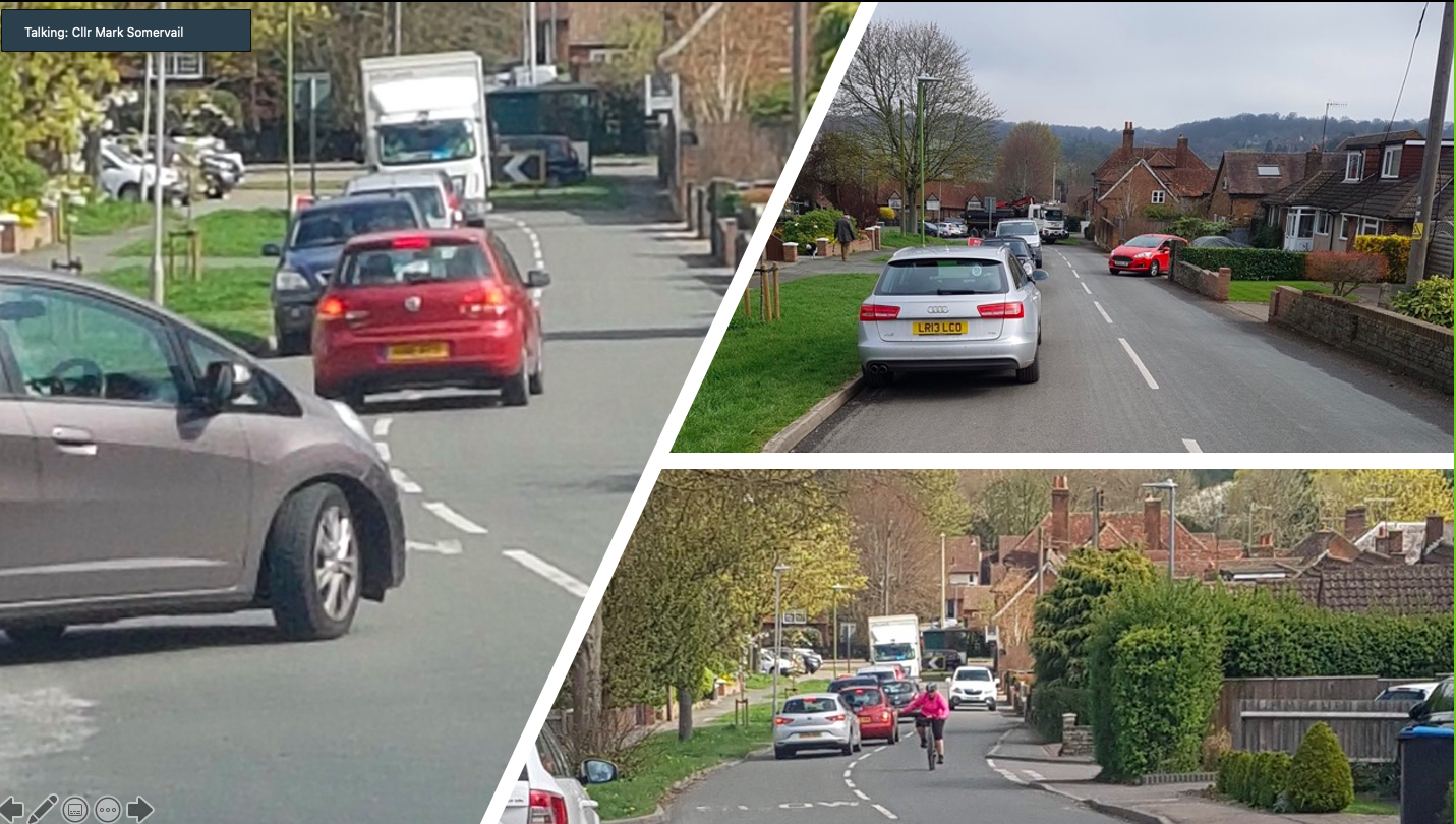
Road safety is one of the most important concerns for people in Northchurch and we are committed to making our roads safer. Traffic speed and a lack of safe places to walk and cycle can take away people's right to make safe and healthy journeys. Every 20 minutes, someone is killed or seriously injured on a British road. Each crash is a tragedy, each crash is preventable. Herts County Council (HCC) Highways is responsible for road safety in Northchurch.
The Road Safety Foundation, a UK charity, provides a map showing serious accidents in Northchurch.
What we do
- Our Road Safety Committee, chaired by councillor Lara Pringle, identifies and responds to road safety concerns
- We consult local people, identify danger spots (see below) and inform the responsible authority (Herts Highways)
- We push for traffic calming measures that will reduce speed and make danger spots safer
- Although highways are the responsibility of HCC, we sometimes pay for road safety measures from our own limited budget or using grants. One example is Speed Indicator devices (SIDs). These measure the speed of approaching vehicles and display the speed. SIDs are not intended to directly enforce speed limits, but rather to inform motorists and encourage them to slow down when approaching a danger zone.
What we have done so far to make our roads safer
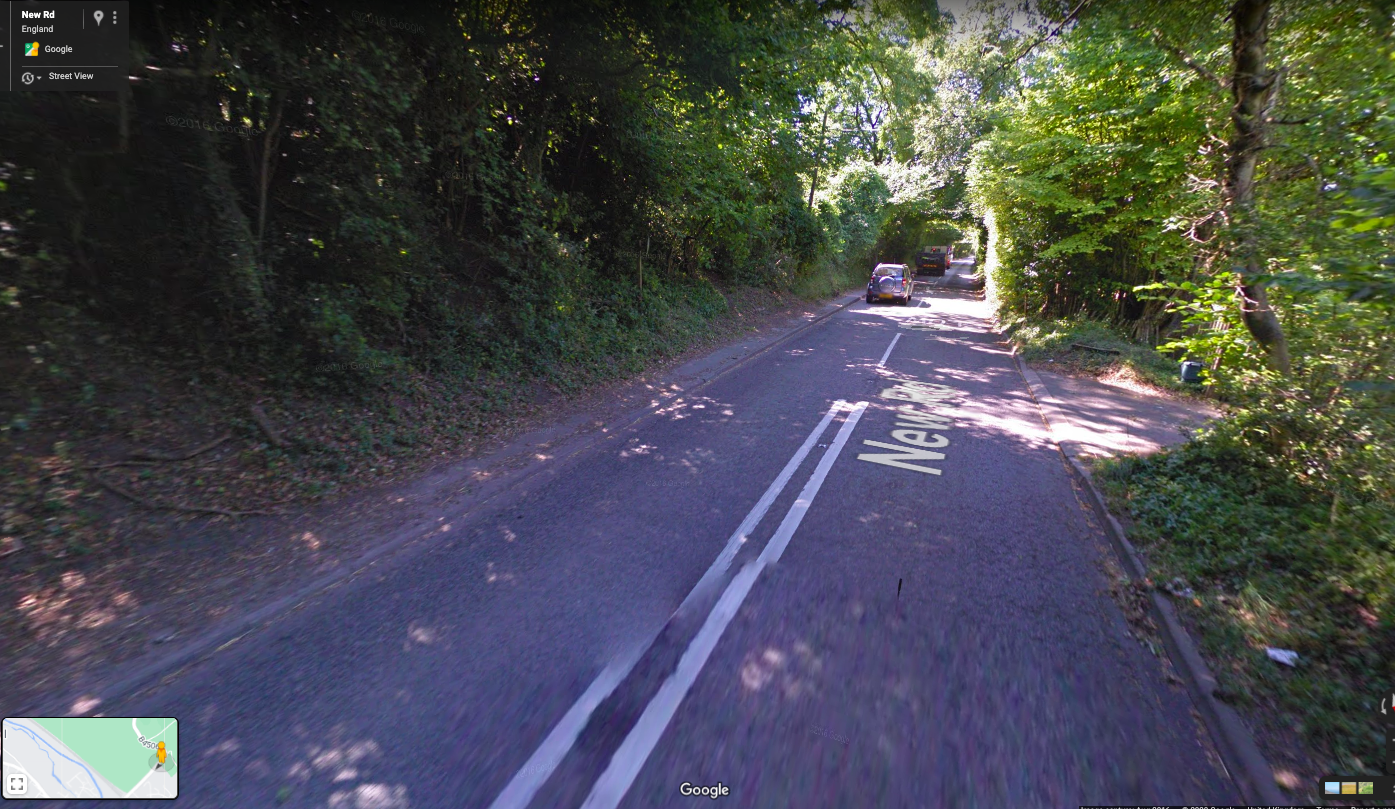
- We pay for a school crossing patrol in New Road outside St Mary's School
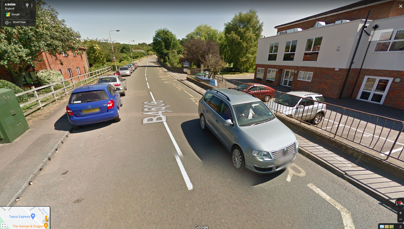
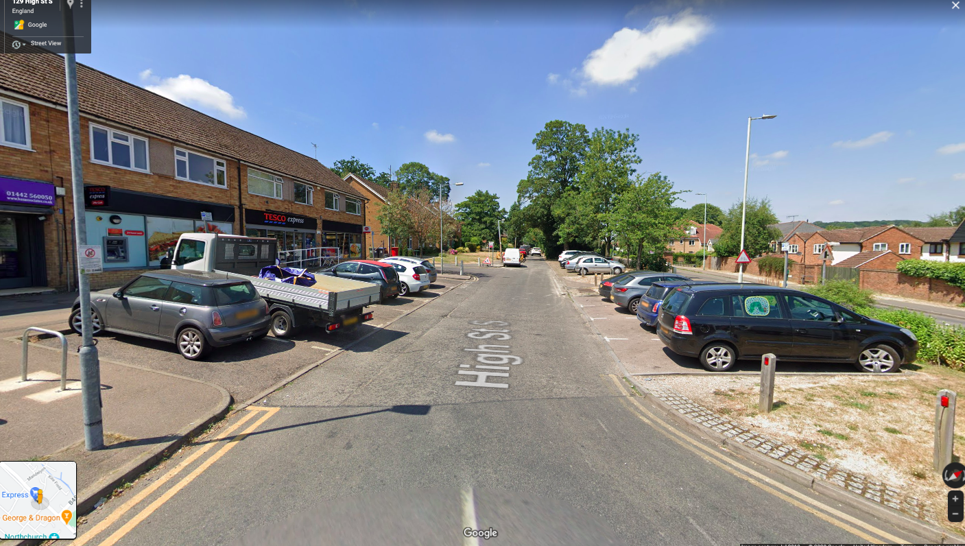
- We paid for a SID in the High Street by the Recreation Ground
- We applied for funding for another SID which was installed on New Road
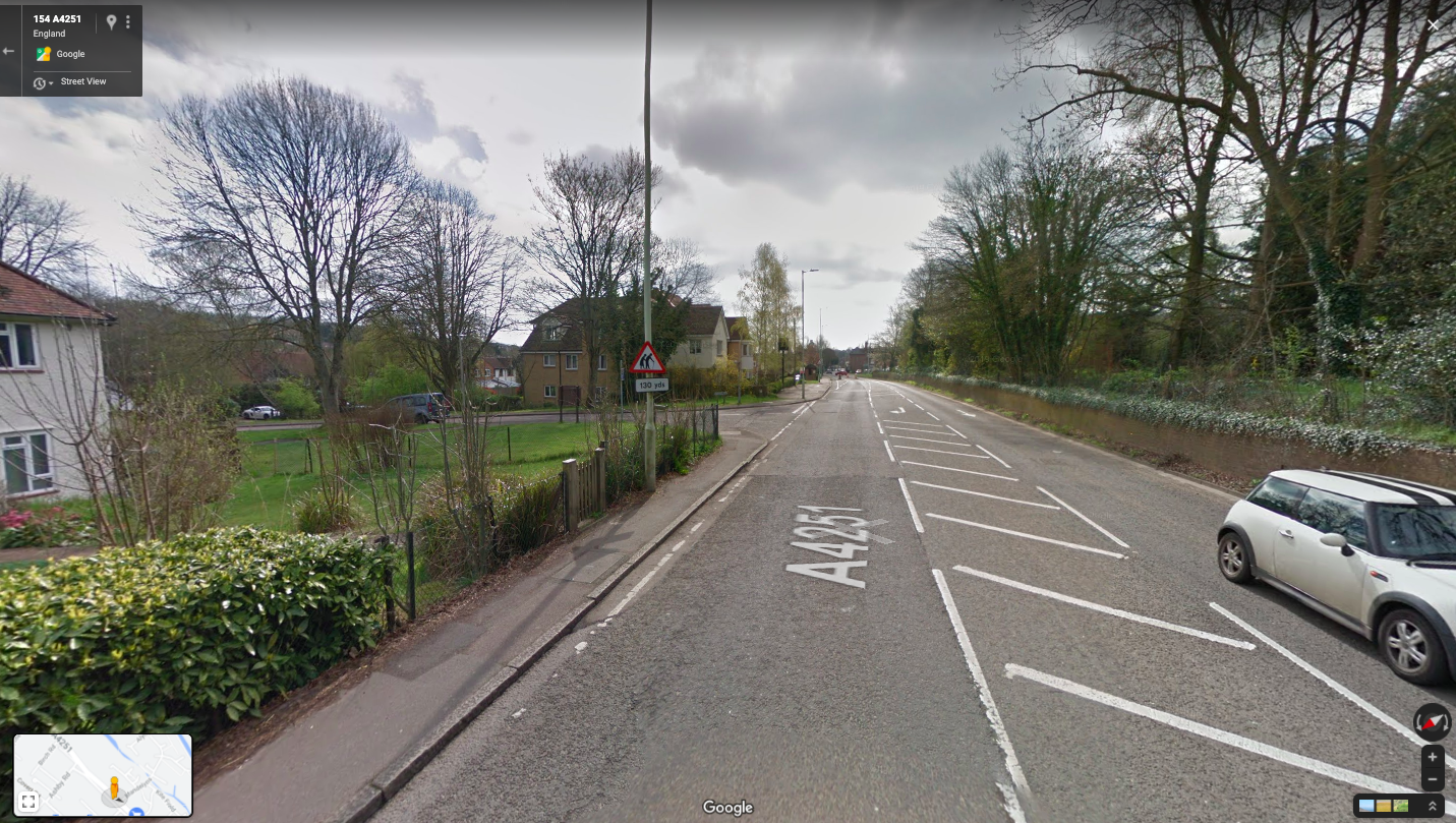
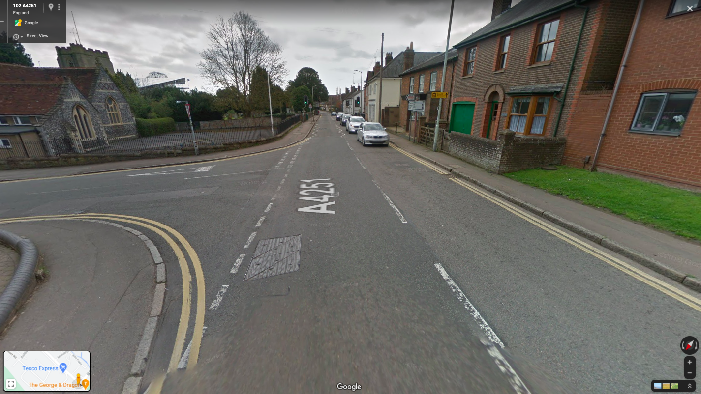
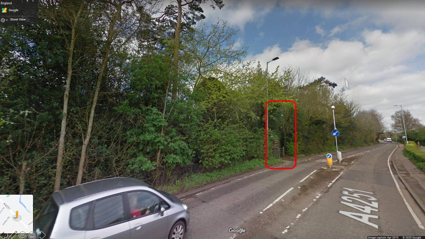
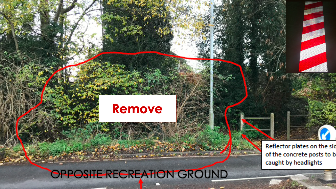
- We applied for funding for new gates on the A4251 to make it clearer to drivers that they are entering a village
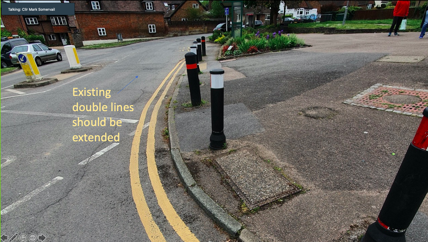
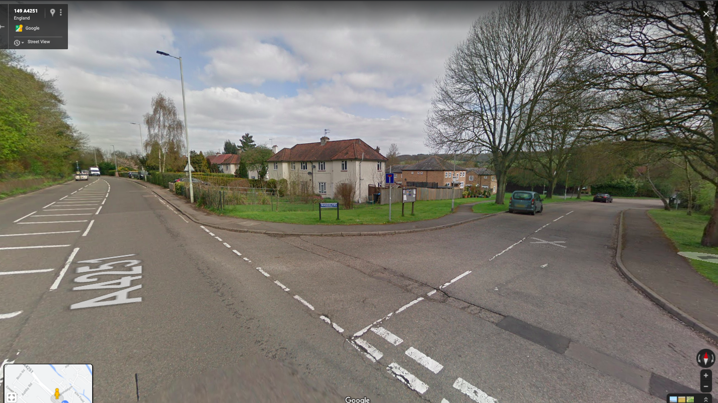
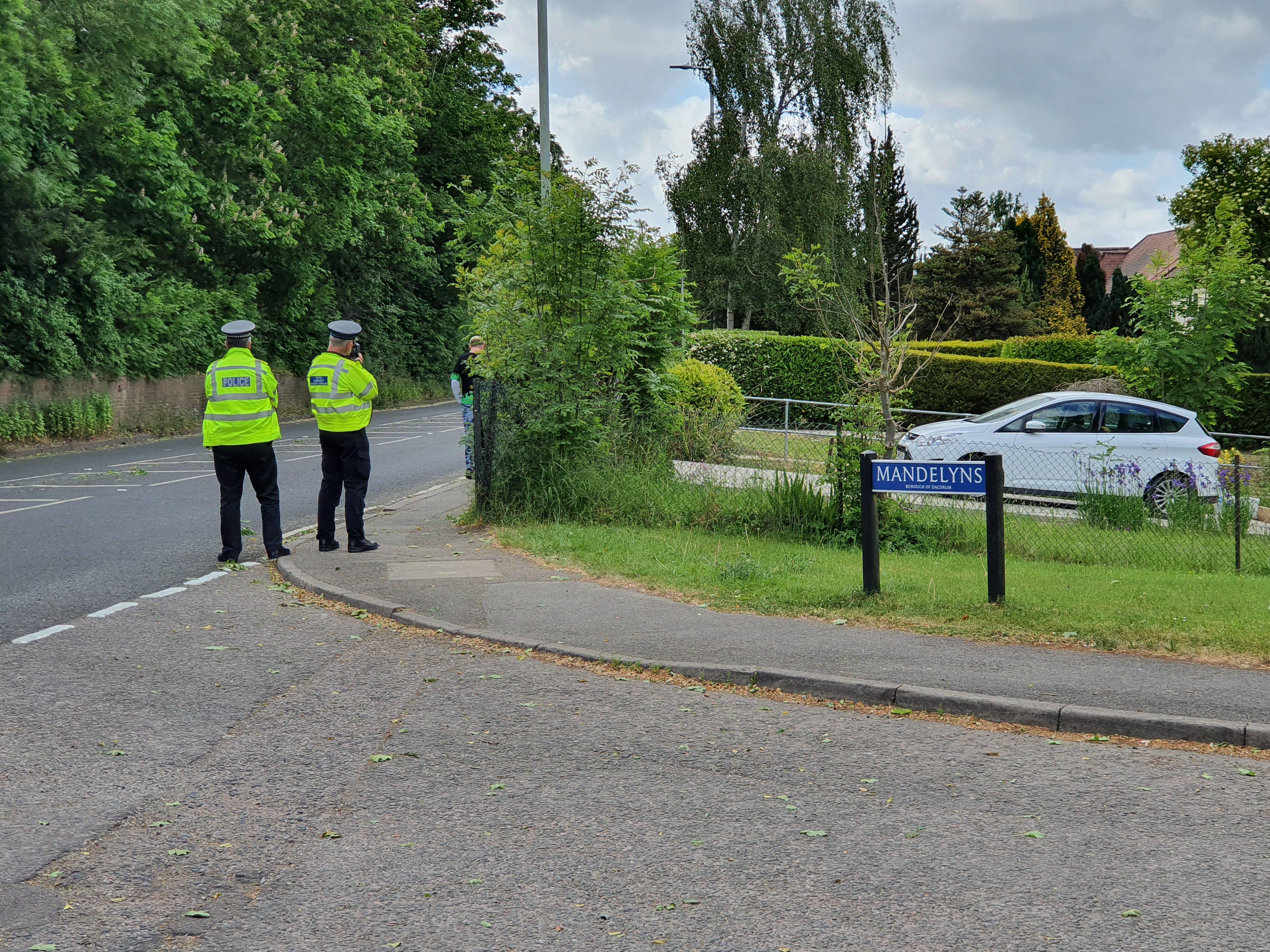
- We successfully lobbied for double yellow lines on the bend at the bottom of Darrs Lane and at the entrance to Mandelyns. On 5th September 2022, the county councillor informed the Parish Council that these will be installed before the end of the financial year (5th April 2023)
- We lobbied HCC to perform a wider road safety survey in Northchurch as promised in a vote in 2018. This was delayed by a review of traffic regulations, Covid and changes of staff but is finally to be addressed in 2023.
What you can do
- Let us know about road safety issues in Northchurch via our Contact us page
- Report a fault on the road or pavement to Herts Highways - broken or obscured signs, potholes, flooding, etc.
- Volunteer to run a Community Drivesafe scheme to educate drivers and make local roads safer, using roadside speed monitoring and promoting awareness. You will be given speed display equipment and stand at the roadside monitoring passing vehicles. Speeding motorists are sent an advisory letter and those who speed frequently could receive a visit from a police officer